Men’s course record
2:16:39
Brad Hawthorne · 1987
- Average pace
- 3:14 / km
- Terrain-adjusted
- +1.37 %
Europe15
Americas6
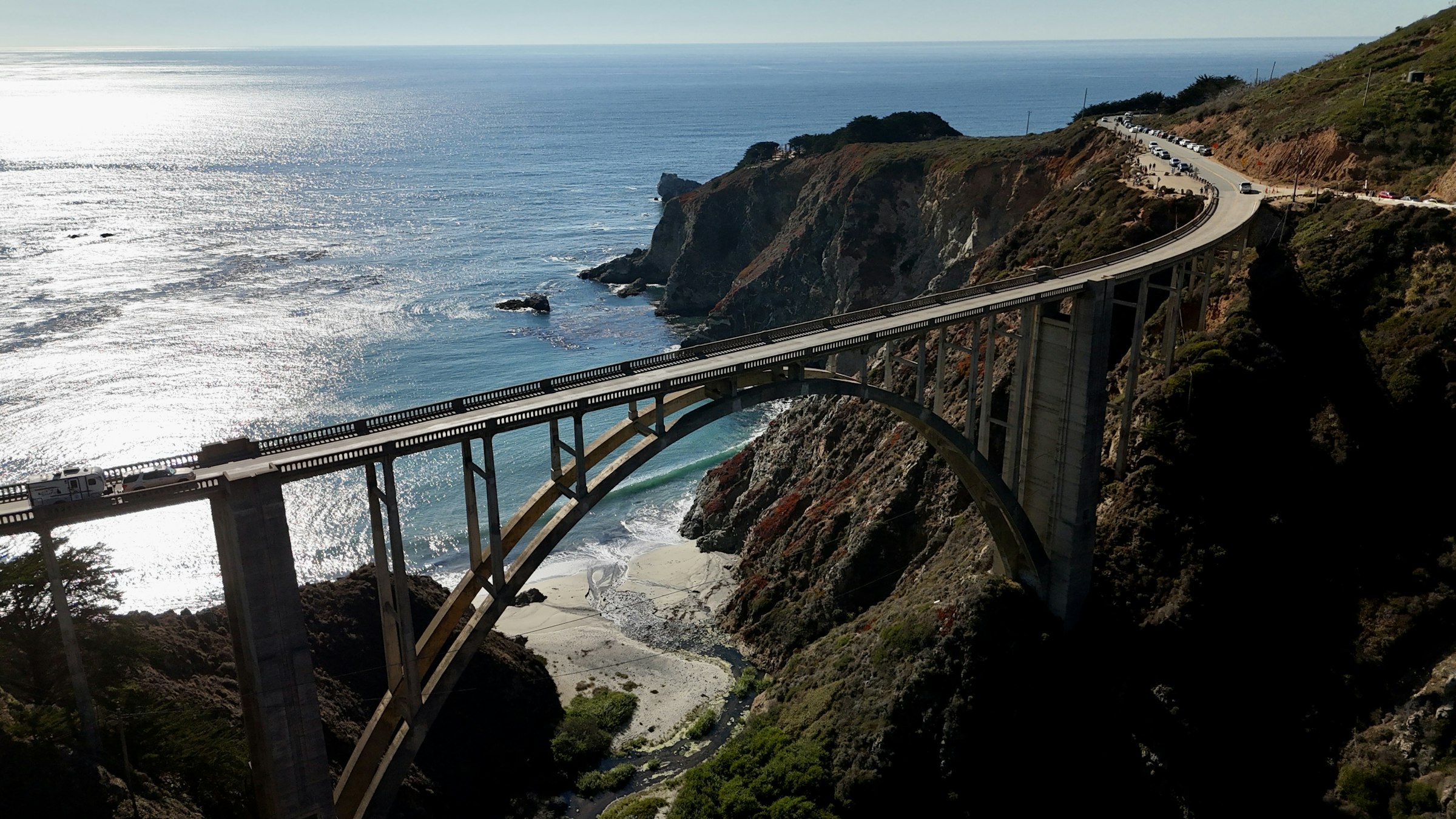
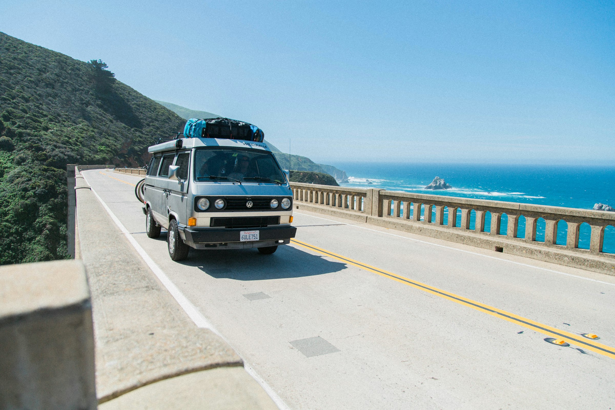
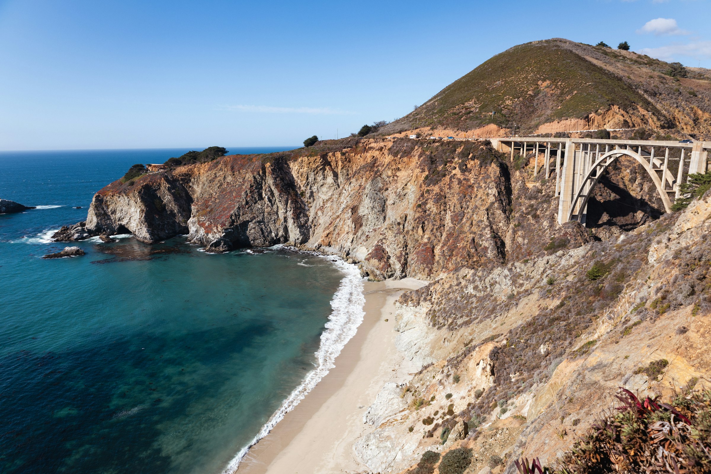
Big Sur, USA The last Sunday in April Founded 1986
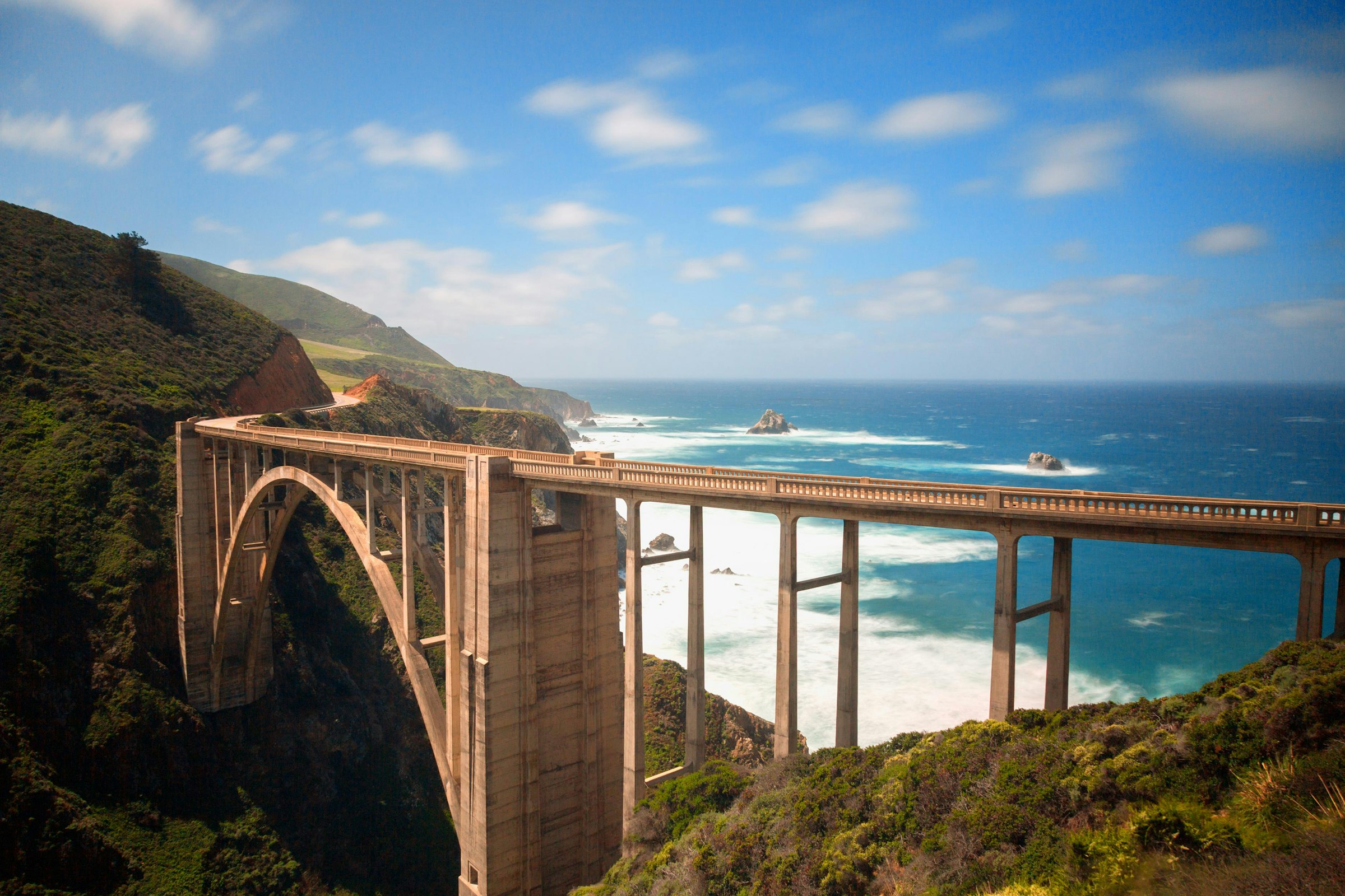
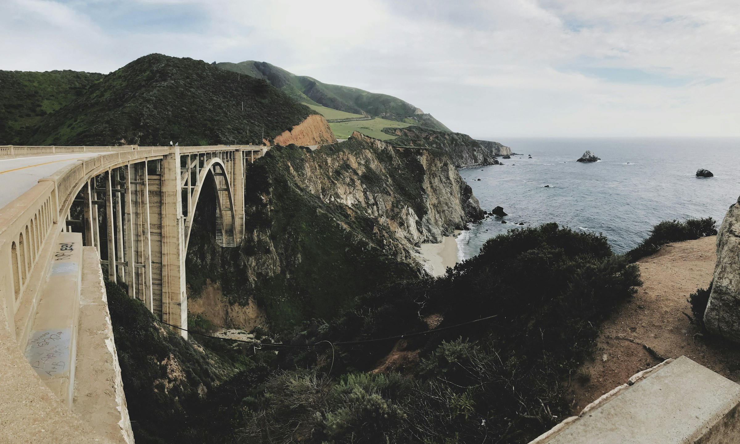
Twenty-six miles of Highway 1 with the Pacific on one side and no way out on the other.
Marathon Course · every marathon course, measured the same way
Big Sur Marathon
Twenty-six miles of Highway 1 with the Pacific on one side and no way out on the other. Big Sur Station → Rio Road, Carmel-by-the-Sea, California, USA.
Elevation · a third-party GPX of the 2025 route, which road closures have changed in some years · USGS NED 10 m · smoothed 100 m 5–176 m
—
0.08.517.025.433.942.4
kmmi — elev — grade — hover or drag the profile
Big Sur climbs 657 m, more than twice Boston's 276 m and nine times Berlin's 72 m. It descends 741 m, and most of both happens in two places.
The first 5.0 km fall 67 m out of the redwoods. Then the course rolls to about 15.0 km before Hurricane Point, where 65 m of climbing in the kilometre from 16.0 km makes the steepest climbing kilometre of the race. The 15–20 km split gains 93 m. The summit, at 19.3 km, is the high point of the race at 176 m.
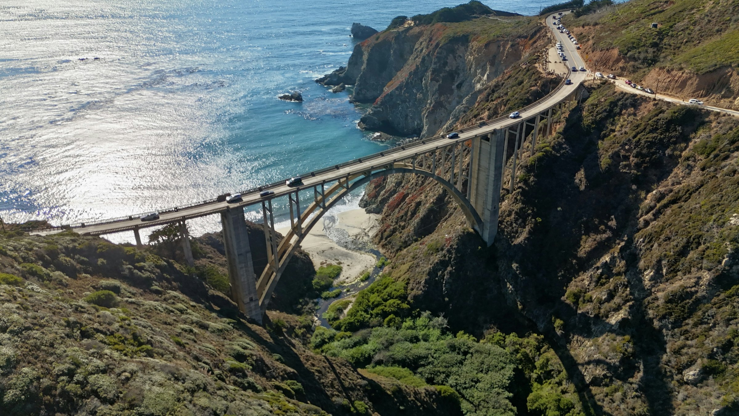
Then it drops almost as hard, 61 m in the kilometre from 19.8 km, down to Bixby Bridge and the piano at halfway. The second half is a long, rolling descent to the sea. It loses another 31 m between 35.0 km and 40.0 km before a final rise into Carmel.
The course isn't record-eligible on either World Athletics test. It loses 85 m overall, twice the permitted rate, and its start and finish are 34.4 km apart against a limit of 21.1 km. And don't compare a time from here with one from anywhere else. Add up the energy cost of every gradient and, for a three-hour runner, the course comes out about 2.5 min slower than a flat 42.195 km (1.37 %).
Take it with you
Course GPX Organiser's course map
The GPX is ours: our resampled line, a point every 25 m, carrying USGS NED 10 m elevation rather than the GPS noise a watch file usually holds.
USGS NED 10 m, a third-party GPX of the 2025 route, which road closures have changed in some years, smoothed 100 m · marathoncourse.com/marathons/bigsur/ · checked 2026-09-23
1990200020102020
Pace is derived from the certified distance. Terrain-adjusted figures come from the same model that ranks every course on this site.
Men’s course record
2:16:39
Brad Hawthorne · 1987
Women’s course record
2:41:45
Svetlana Vasileyva · 1996
The morning, hour by hour
Race-day mean temperature, 1995-2025. Lime marks the hottest edition; the coldest and wettest carry a label only, so the colour still means one thing.
Harder than any other course we've measured. It climbs 657 m, more than twice Boston's 276 m and nine times Berlin's 72 m. Its steepest kilometre, 65 m of climbing from 16.0 km up Hurricane Point, is steeper than any kilometre on any other course. Add an onshore wind with nothing to break it, and a time here bears no relation to a time anywhere else.
USGS NED 10 m lidar, sampled every 25 m, smoothed over 100 m. Raw-to-smoothed ratio 1.41.
A two-mile climb from the Little Sur River bridge up a road cut into the cliff face, starting at about 16.0 km. The 15–20 km split, which holds it, gains 93 m. The summit, at 19.3 km and 176 m, is the high point of the race. It's named for the wind, which comes off the Pacific with nothing in its way, and it's followed straight away by the steepest descent of the day, down to Bixby Bridge.
Derived from this site's elevation profile, measured every 25 m.
There is. A pianist in a tuxedo plays a grand piano at the head of Bixby Bridge, at halfway, and has done for most of the race's modern history. You'll hear it on the way down from Hurricane Point before you see it.
Organiser course materials and race coverage.
A free random drawing. Entering costs nothing, and your card is charged the US$325 fee only if you're selected. The field is capped at about 4,500 because Highway 1 is closed for the race and there's physically nowhere to put more runners. The 2027 drawing has already been decided, with results on 8 September 2026.
Organiser registration information, checked September 2026.
No, and it fails both tests by a distance. A record course can lose at most a metre per kilometre; Big Sur loses 85 m, which is 2.01 m for every kilometre. Its start and finish would need to be within 21.1 km, and Big Sur Station and Carmel are 34.4 km apart, 82 % of the race distance.
This site's measurement of the Big Sur line, applied to World Athletics Competition Rules Part III.
More than 4,500 took a marathon place in 2027.
Organiser figures for the 2027 edition.
About 12.8 °C during a typical race: that's the median across 29 years, which have run from 9.2 °C to 20.6 °C. 1 of the 29 were wet.
ERA5 reanalysis for the race date, 1995-2025.
The downhill rule won't stop you. Big Sur's net drop of 85 m is less than a fifth of the 1,500 ft at which the B.A.A. adds five minutes. The course might: 657 m of climbing, a headwind that has stopped people walking, and Hurricane Point at sixteen kilometres.
Net drop −85 m from this site's course line; 2027 adjustment None. Certification certified: USATF-certified and Boston-qualifying; not eligible for records — it fails both World Athletics geometry tests.
It comes from USGS NED 10 m, sampled every 25 m along the course line and smoothed over 100 m. The raw-to-smoothed ratio here is 1.41. Around 1.3 means the model is reading the ground, not rooftops; above about 2.0 the total climb carries real noise, and the net change is the sturdier number.
0 missing samples · 8 bridge spans corrected.
| Fact | Source | Verified |
|---|---|---|
| Course line | Third-party GPX for the 2025 edition, validated against the certified 42.195 km (measured 42.412 km, 0.51 % long, from 609 points). Archived with its hash in data/raw/sources. Note that Highway 1 closures have forced re-routes in some years — 2024 was run out and back — so confirm the route for the year you enter. | 2026-09-20 |
| Elevation | USGS NED 10 m lidar via OpenTopoData, sampled every 25 m, smoothed over 100 m. Raw-to-smoothed gain ratio 1.41, which is clean. Eight bridge spans corrected, including Bixby. | 2026-09-20 |
| Race-day weather | ERA5 reanalysis via the Open-Meteo archive, the last Sunday in April 1995–2025 at the Big Sur Station start, 06:00–14:00 local. 2020 and 2021 excluded. Note that ERA5 will understate the wind funnelling at Hurricane Point, which is a local effect below the model's resolution. | 2026-09-23 |
| Entry and field | Free random drawing, charged US$325 only on selection; 2027 results issued 8 September 2026. Field capped at about 4,500. | 2026-09-23 |
| Course records | The organiser's course-records page. Wikipedia gives the men's mark as 2:17:30. | 2026-09-23 |
| Record eligibility | World Athletics Competition Rules, Book C, Part III — Competition Rule 31.21: a record course may lose no more than 1 m per kilometre, and its start and finish may be no more than 21.098 km apart. Big Sur loses 84.9 m — 2.01 m/km — and separates by 34.42 km, 82 % of the race distance. It is outside both. | 2026-09-23 |
Until the Big Sur Marathon · 25 Apr 2027
— days
— hrs— min— sec

Prague, Czech Republic · 2 May 2027
Across the Charles Bridge in the first three kilometres, along both banks of the Vltava, and through Old Town Square three times.
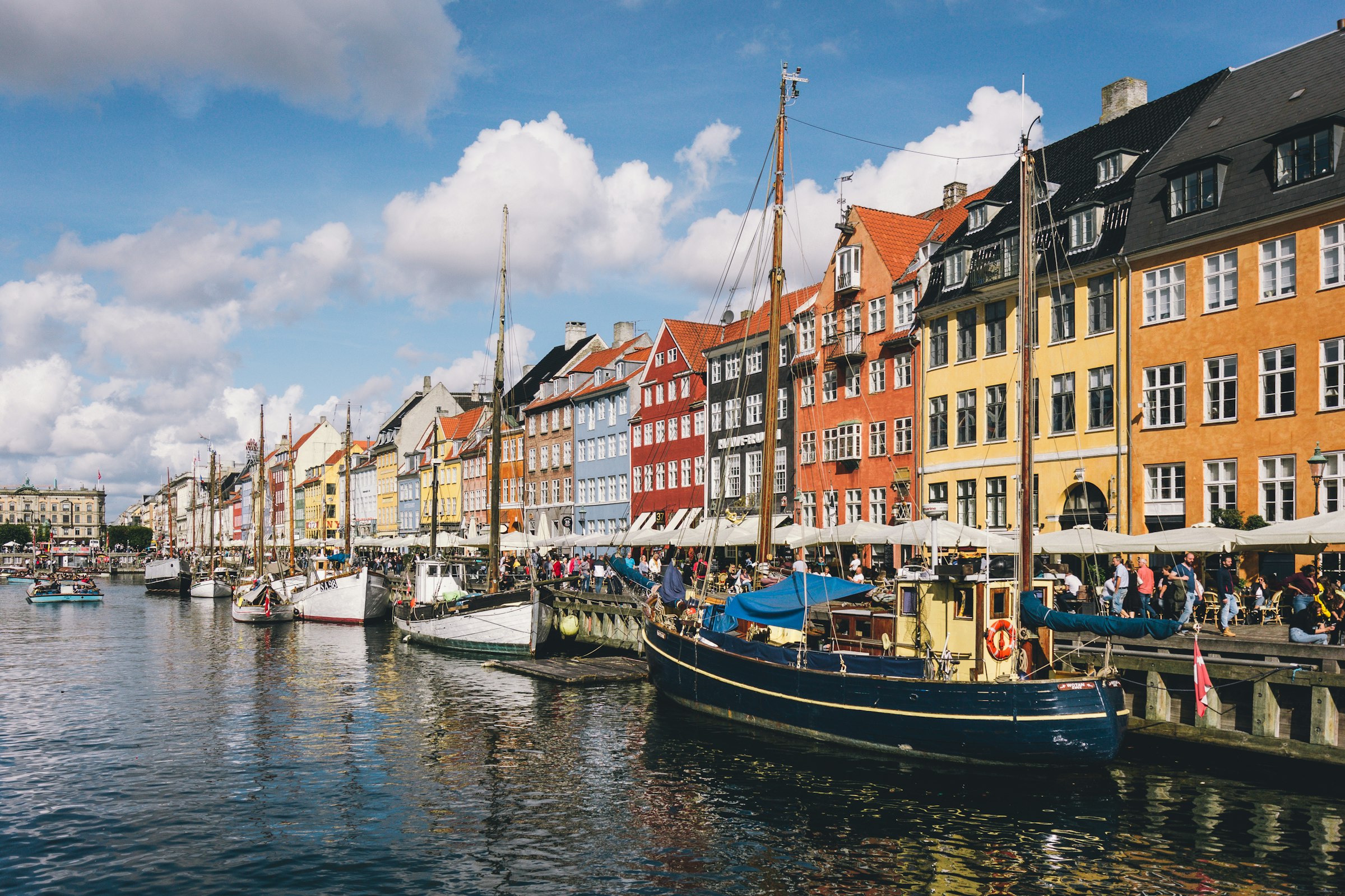
Copenhagen, Denmark · 9 May 2027
Over the harbour to Christianshavn and back, out through Nørrebro and Frederiksberg, and home by Kongens Nytorv and Nyboder to Øster Allé.
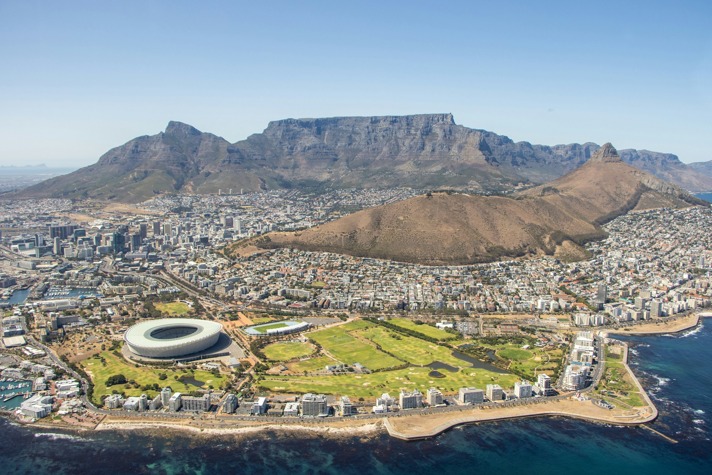
Cape Town, South Africa · 23 May 2027
Out through Woodstock to Claremont, back past the Castle and up through the Gardens, then round Sea Point and home along Beach Road.