Men’s course record
2:25:02
Jack Moody · 2025
- Average pace
- 3:26 / km
- Terrain-adjusted
- −0.11 %
Europe15
Americas6

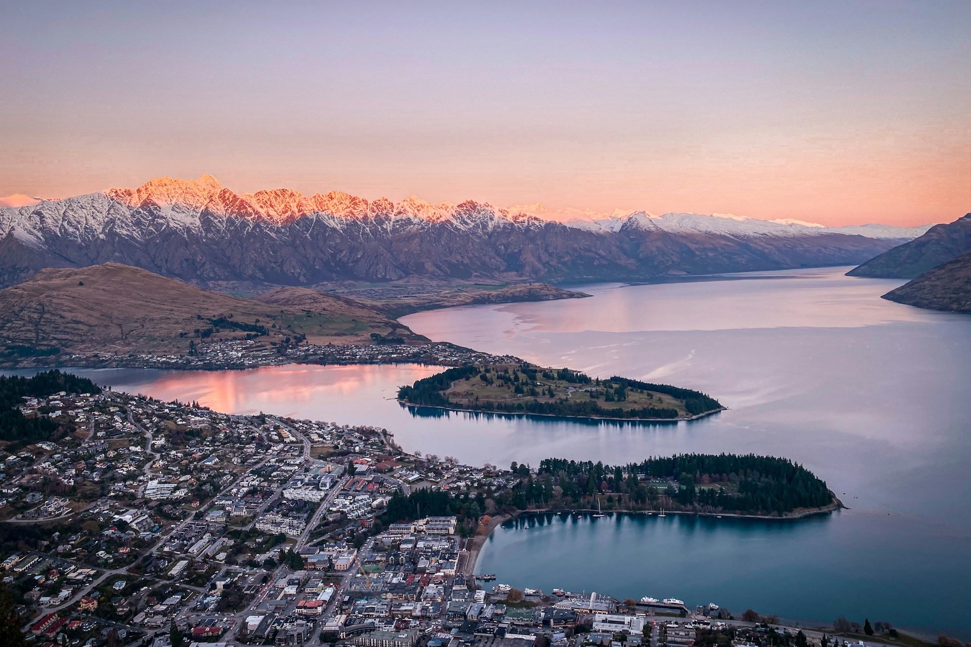
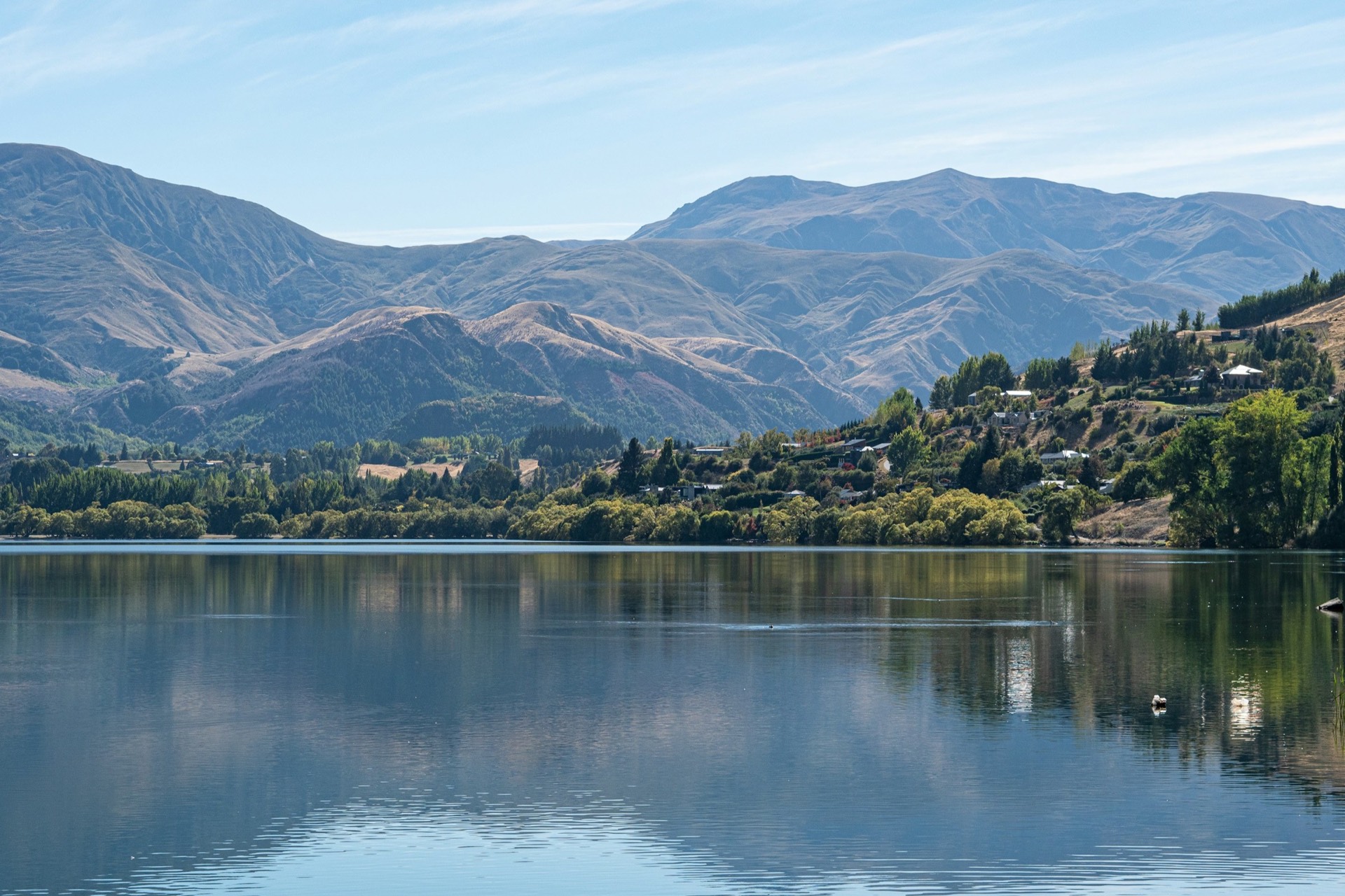
Queenstown, New Zealand The Saturday nearest 15 November Founded 2014
Seventy percent hard-packed trail, between the Crown Range and the Remarkables, and no ballot to get in.
Marathon Course · every marathon course, measured the same way
Queenstown Marathon
Seventy percent hard-packed trail, between the Crown Range and the Remarkables, and no ballot to get in. Millbrook Resort, Arrowtown → Queenstown Recreation Ground, Otago, New Zealand.
Elevation · measured on the 2024 course line · LINZ nzdem8m (8 m) · smoothed 100 m 308–436 m
—
0.08.416.825.233.541.9
kmmi — elev — grade — hover or drag the profile
The first 10.0 km roll gently down along the Arrow River. The one real climb is the block from 15.0 km to 20.0 km, up Speargrass Flat and over Slope Hill, 45 m net. The hardest stretch isn't a climb, though. The drop off Lower Shotover Road into Quail Rise at about 24.5 km loses 54 m in a kilometre, and it arrives with 18.0 km still to run. From Frankton the last 10.0 km are flat along the lake. Add up the energy cost of every gradient and the course comes out about level with a flat 42.195 km.
Take it with you
Course GPX Organiser's course map
The GPX is ours: our resampled line, a point every 25 m, carrying LINZ nzdem8m (8 m) elevation rather than the GPS noise a watch file usually holds.
LINZ nzdem8m (8 m), measured on the 2024 course line, smoothed 100 m · marathoncourse.com/marathons/queenstown/ · checked 2026-09-21
201520202025
Pace is derived from the certified distance. Terrain-adjusted figures come from the same model that ranks every course on this site.
Men’s course record
2:25:02
Jack Moody · 2025
Women’s course record
2:48:31
Bara Styblova · 2025
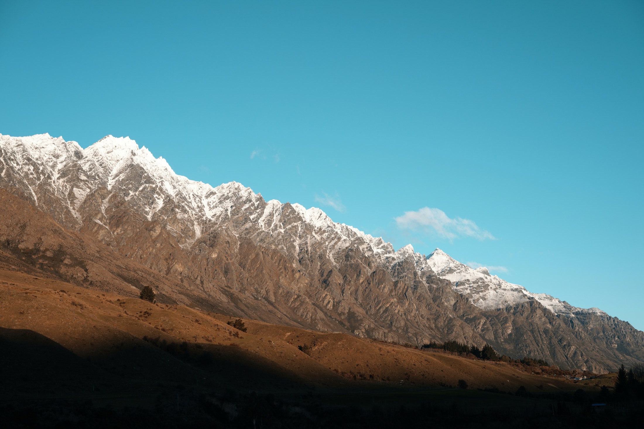
The morning, hour by hour
Cut-offs
Times as published by the organiser. Sugar Lane's 2:53pm is 14 minutes after Frankton for 3 km, against roughly 11 minutes per kilometre at every other point; treat it as a misprint until the organiser confirms.
Race-day mean temperature, 1995-2025. Lime marks the hottest edition; the coldest and wettest carry a label only, so the colour still means one thing.
Yes, more than its marketing suggests. It climbs 307 m and descends 398 m, finishing 90 m below the start. Of the 28 courses we've measured, only Big Sur climbs more. Expect rolling ground, 70 % of it on trail.
LINZ nzdem8m (8 m), sampled every 25 m, smoothed over 100 m.
The organiser puts it at 70 % smooth hard-packed trail and 30 % road. Hard-packed is what matters. It's gravel and compacted surface, not single-track, and road shoes are the normal choice.
Organiser, marathon course page.
No. Entry is open registration until it sells out or closes, at 5:00pm the day before the race. Prices step up as race day nears, so check the official entry page for the current figure.
Organiser entry page, checked 2026-09-21.
The course closes at 4:30pm after an 8:45am start, a window of about seven and three-quarter hours, with six intermediate cut-offs along the way. The published points work out at roughly eleven minutes per kilometre.
Organiser race-day information.
The marathon starts at Millbrook Resort near Arrowtown, about 15.4 km from the finish in a straight line. The organiser runs a paid event shuttle, NZ$20, from the Boundary St car park or Wakatipu High School; arrive fifteen minutes before your notified pickup time.
Organiser race-day information.
A strong case: open entry, a generous cut-off, and an organiser that welcomes walkers behind the runners. The catch is the terrain. It rolls throughout, and the long drop into Quail Rise at about 24.5 km arrives with 18.0 km still to run.
Measured profile; organiser race information.
More than 4,000 took a marathon place in 2025, within about 13,000 across the event. 38 % of entrants came from outside the country.
Organiser figures for the 2025 edition.
About 11.8 °C during a typical race: that's the median across 31 years, which have run from 5.5 °C to 18.5 °C. 14 of the 31 were wet.
ERA5 reanalysis for the race date, 1995-2025.
On net drop, yes. Under the B.A.A. rules for 2027 qualifying, a course loses five minutes once its net drop reaches 1,500 ft. Queenstown's measured net drop is 90 m, about a fifth of that, so a time run here would count at face value. Certification is the open question. The B.A.A. accepts qualifying times only from courses certified by AIMS or the national federation. The organiser's site doesn't say the course is certified, and third-party guides describe it as AIMS-measured. Until you've seen the certificate, treat it as likely, and confirm with the organiser before planning a qualifying attempt here.
Net drop −90 m from this site's course line; 2027 adjustment None. Certification unconfirmed: Organiser doesn't state it; third-party guides say AIMS-measured.
It comes from LINZ nzdem8m (8 m), sampled every 25 m along the course line and smoothed over 100 m. The raw-to-smoothed ratio here is 1.41. Around 1.3 means the model is reading the ground, not rooftops; above about 2.0 the total climb carries real noise, and the net change is the sturdier number.
0 missing samples · 1 bridge spans corrected.
| Fact | Source | Verified |
|---|---|---|
| Course line | Third-party GPX, validated against the certified 42.195 km and identified by the race name embedded in the file | 2026-09-19 |
| Elevation | LINZ nzdem8m (8 m) via OpenTopoData, bridges corrected | 2026-09-19 |
| Race-day weather | ERA5 via Open-Meteo archive | 2026-09-19 |
| Course records, entry, start and cut-off times | Queenstown Marathon official site | 2026-09-19 |
| Boston qualifying adjustment | Boston Athletic Association 2026/2027 registration updates | 2026-09-19 |
| Steepest-kilometre place names | OpenStreetMap via Nominatim reverse geocoding (ODbL) | 2026-09-19 |
| Profile validation | Private GPS/barometer track from the 2024 edition, compared under the same method | 2026-09-19 |
| Field size | Organiser, 2025: more than 4,000 registered for the marathon, 13,000 across four distances, 38 % international | 2026-09-21 |
| Race date and entry fee | Organiser site: Saturday 14 November 2026; general entry NZ$277 including fees and GST | 2026-09-21 |
| Race day: start, cut-offs, aid stations, finish | Organiser race-day information, 2026 edition | 2026-09-21 |
| Athlete check-in | Organiser pre-race information: compulsory, in person, Queenstown Events Centre | 2026-09-21 |
| Entry fees by distance | Organiser entry page, 2026 | 2026-09-21 |
| Boston qualifying rules | B.A.A.: certification by AIMS or national federation; 1,500–2,999 ft net drop +5:00, 3,000–5,999 ft +10:00 | 2026-09-21 |
| Course certification | Not stated on the organiser site as of this date; third-party guides describe the course as AIMS-measured. Unconfirmed. | 2026-09-21 |
| Course line vintage | 2024 course file. The 2025 edition bypassed a flooded 500 m of the Lake Hayes Trail at about 11 km; start and finish unchanged. | 2026-09-21 |
| Photography | Unsplash: Peter Luo (hero, aerial), Tonia Kraakman (Lake Hayes), Eddie Lau (Queenstown Bay), Denise Jans (Arrowtown), K Soma (the Remarkables) | 2026-09-21 |
| Start shuttle | Organiser race-day information: event shuttle to the marathon start, NZ$20, from Boundary St car park or Wakatipu High School | 2026-09-21 |
Until the Queenstown Marathon · 14 Nov 2026
— days
— hrs— min— sec
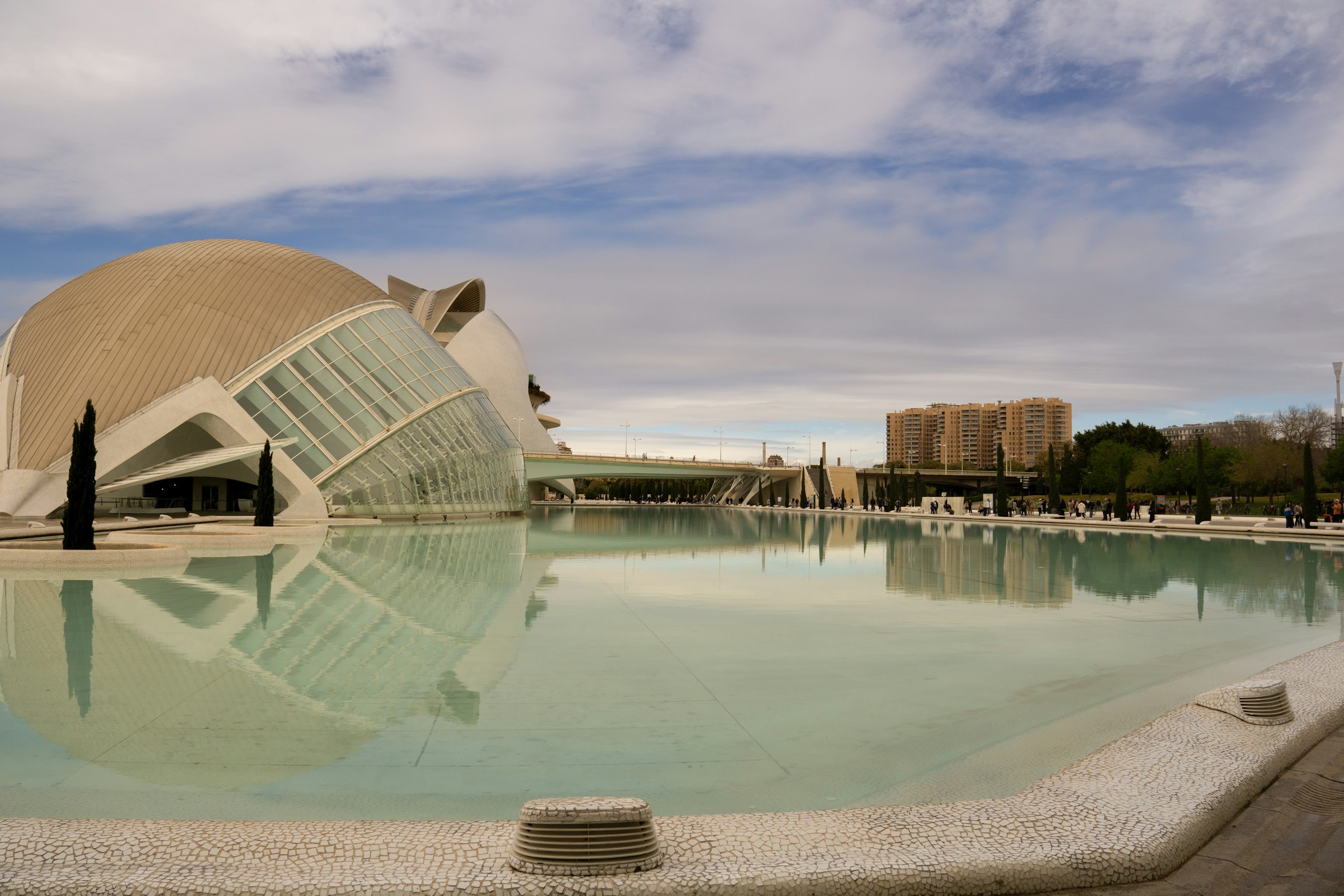
Valencia, Spain · 6 Dec 2026
Out to the port, round the old city and home along the Turia gardens, to a finish laid over the water.
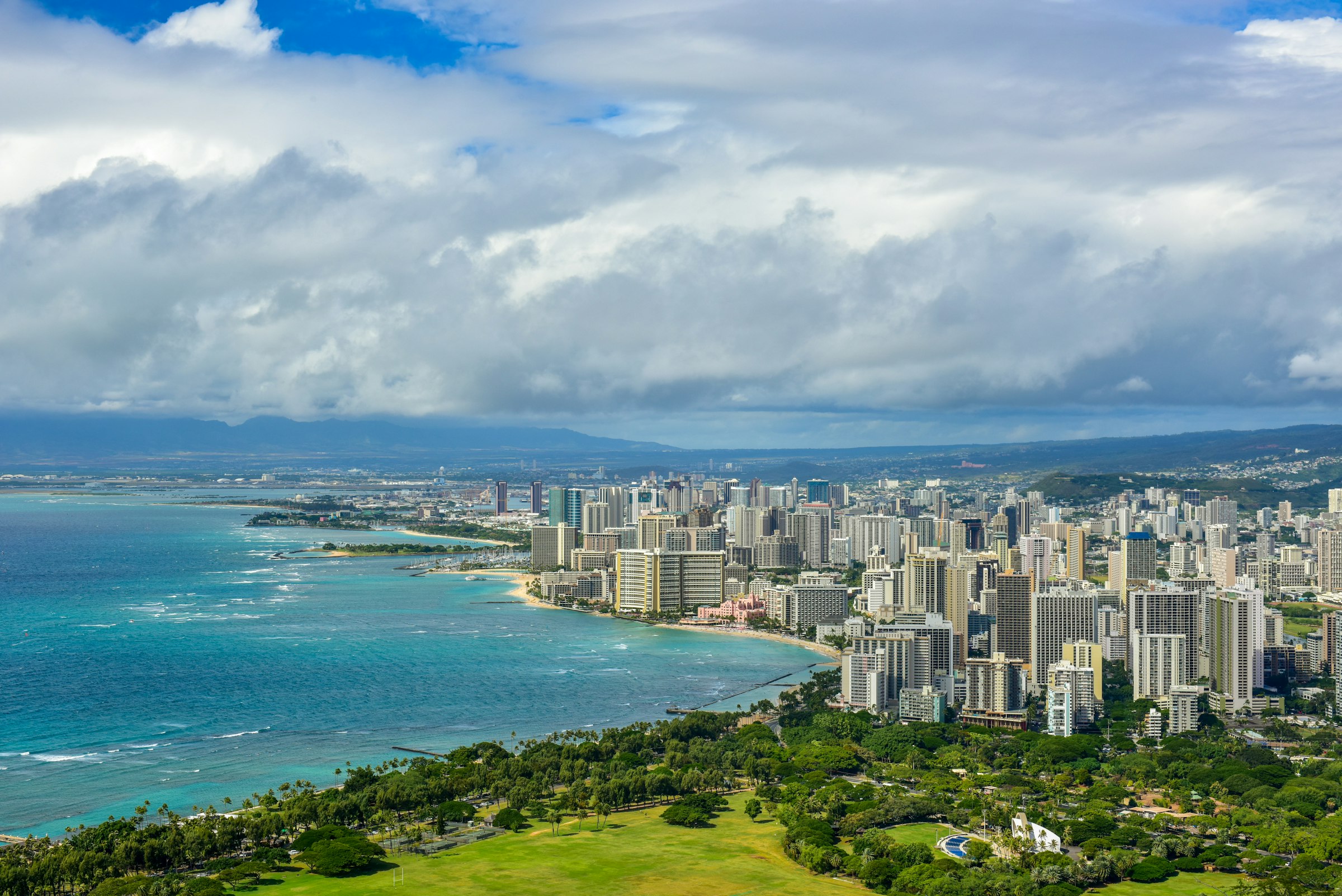
Honolulu, USA · 13 Dec 2026
A 5:00am start under fireworks, twice round Diamond Head, and a finish that stays open until the last runner is in.
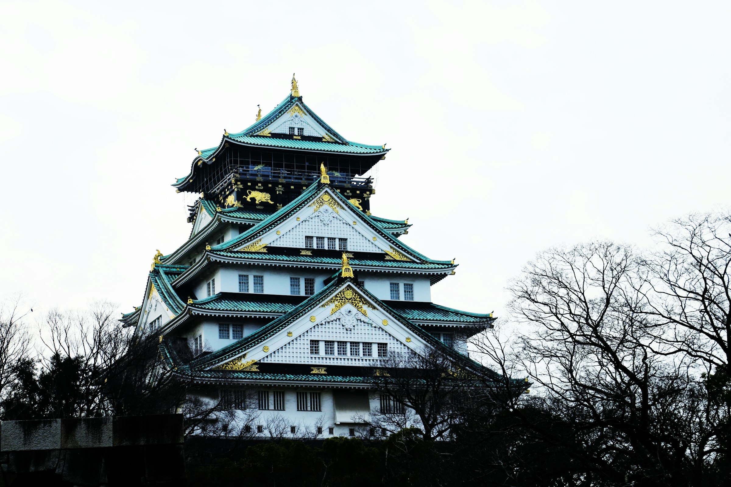
Osaka, Japan · 28 Feb 2027
Down Midosuji to the docks and back, with one short climb onto the plateau before the castle.